Great Himalaya Trail (GHT), Nepal
1200 km and +61 000m in 34 days
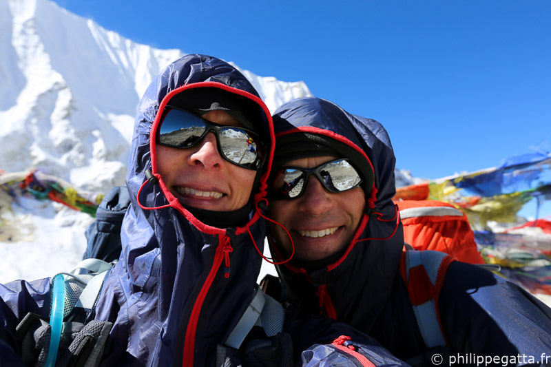
Philippe and Anna on the Great Himalaya Trail: 1,200km and +61,200m across Nepal (© P. Gatta)
About the Great Himalaya Trail (GHT)
The Great Himalaya Trail (GHT) is a network of existing treks and trails which together form one of the longest and highest trails in the world. The GHT links the world's highest peaks, visits some of the most remote communities on earth, passes through lush green valleys, arid high plateaus and incredible landscapes. There are two main routes: the High Route (in color in the map below) which is the highest possible trail, staying as close as possible to the high peaks, and the Cultural Trail which follows lower trails (green dots in the map below).Great Himalaya Trail crosses the following regions: The Far West, Humla, Rara, Dolpo, Annapurna, Manaslu, Ganesh Himal, Rolwaling, Khumbu / Everest, Makalu Barun and Kangchenjunga.
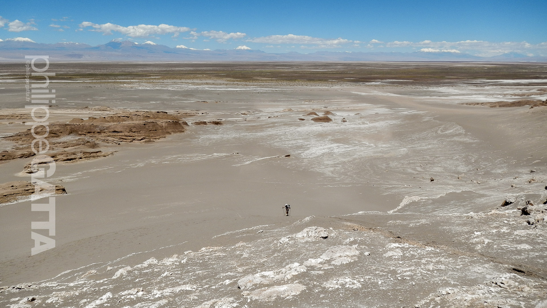
Challenging trail in Dolpo (© P. Gatta)
Trekking the Great Himalaya Trail is a real challenge which can take 150 days or more, often spread out over several trekking seasons or years.
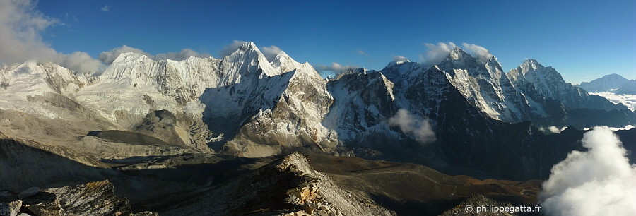
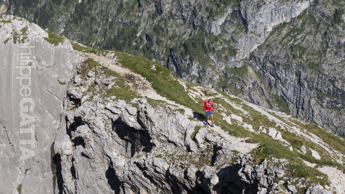
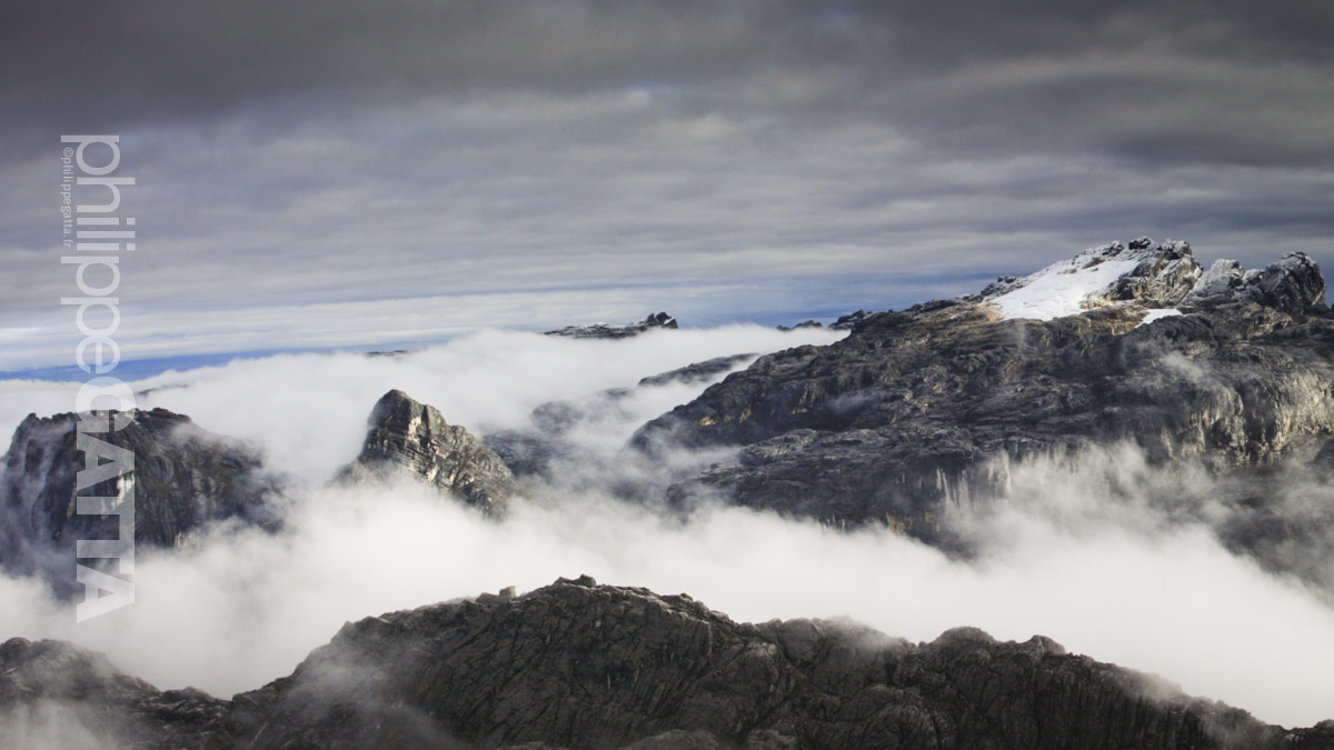
Everest region seen from Ama Dablam camp 1 (© P. Gatta)
Running the Great Himalaya Trail (GHT)
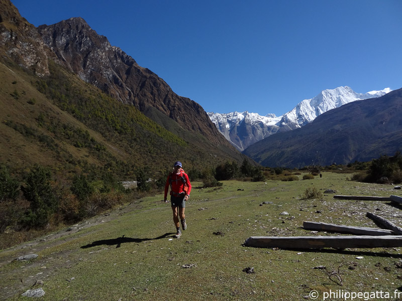
In September 2013, Philippe and Anna Gatta embarked on a hugely ambitious adventure - to run the high route of the Great Himalaya Trail. Philippe aimed to cover the full 1,700km route in just 40 days, while Anna planned to run 670km of the trail with her husband and provide essential logistical support for the rest of his run. Running the route in less than 40 days is the equivalent of 40 marathons in 40 days (10 UTMB or seven Marathons Des Sables).Philippe and Anna ran light and fast, carrying a 10kg pack with all their kit, gear, sleeping bag and food. They did not take any tent, bivy bag and not even a stove (they used Esbit). At 4 locations, they met a support team where they got resupply. During the whole journey, they didn't have any guide or porter.
Anna and Philippe crossing Larkya La, Manaslu (© P. Gatta)
Anna around Manaslu (© P. Gatta)
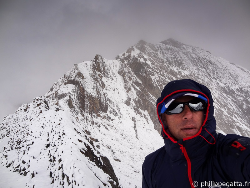
Philippe crossing Nyingma Gyansen La, Dolpo (© P. Gatta)
Great Himalaya Trail video
Video of the Great Himalaya Trail (© Philippe and Anna Gatta)
Their Great Himalaya Trail in 34 days
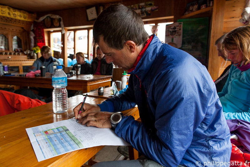
Here is a brief summary of their 34 days of adventure.Day 1 to 2: Simikot to Gamgadhi (Philippe)
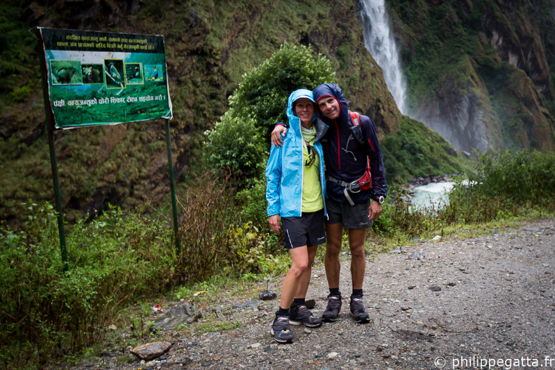
At the end of September, Anna and Philippe flew from Katmandu to Simikot, a small village of the Humla region. Initially they planned to run together to Gamgadhi but the airstrip of Gamgadhi was closed so Anna made the first 20km and went back to Simikot and then to Katmandu. Philippe continued alone and reached Gamgadhi at the end of the following day after getting lost a couple of times.Total for this section: 110km +7,000m in two days.
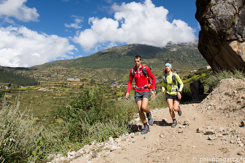
Philippe and Anna at the start of the GHT in Simikot (© P. Gatta)
Day 3 to 10: Gamgadhi to Kagbeni (Philippe)
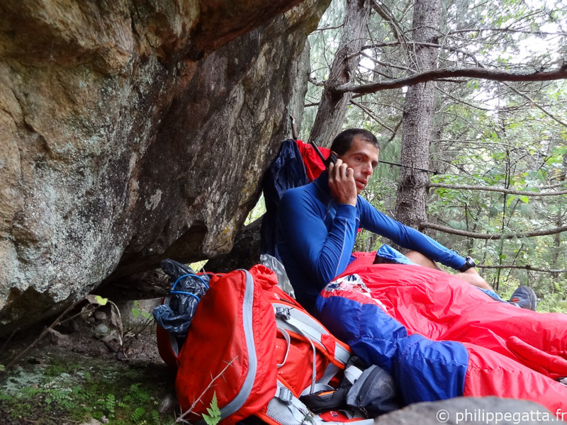
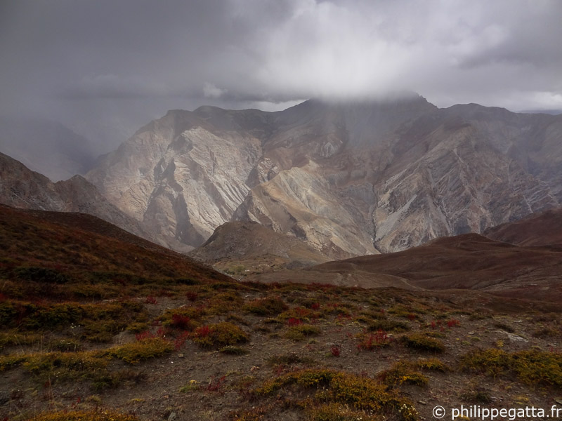
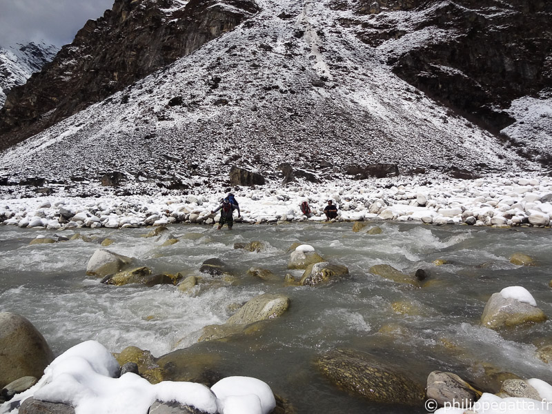
Philippe left Gamgadhi alone carrying a 10.5kg pack with 8 jours of food, sleeping bag, clothes, medical kit, GPS, maps et Spot Messenger. The first day to Shilenchaura camp went rather well. The Mugu Karnali river Gorge is beautiful, the trail relatively good et obivious. The end of the day has been tougher with some rain et a missing bridge to cross the Karnali river.
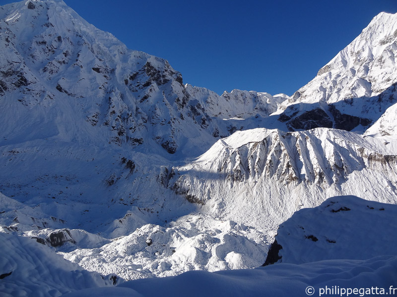
Bivouac in Dolpo (© P. Gatta)
Crossing Chyargola La in snow, Dolpo (© P. Gatta)
After crossing Yala La, Dolpo (© P. Gatta)
On the way down to Pho, Dolpo (© P. Gatta)
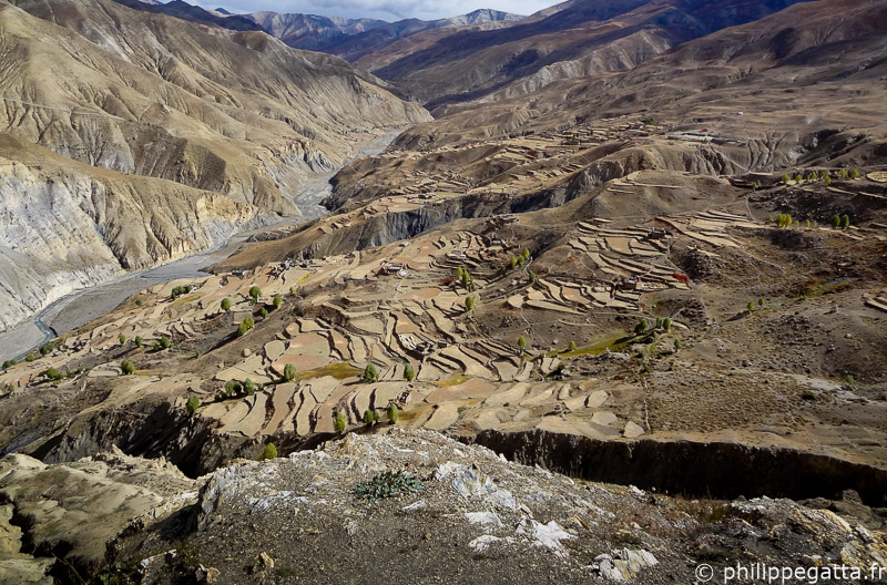
Saldang and its valley, Dolpo (© P. Gatta)
The village of Tinje, Dolpo (© P. Gatta)
Snow storm close to the Jungben La, Dolpo (© P. Gatta)
Total for this section: 370km +19,360m in 8 days.
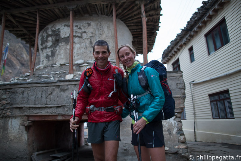
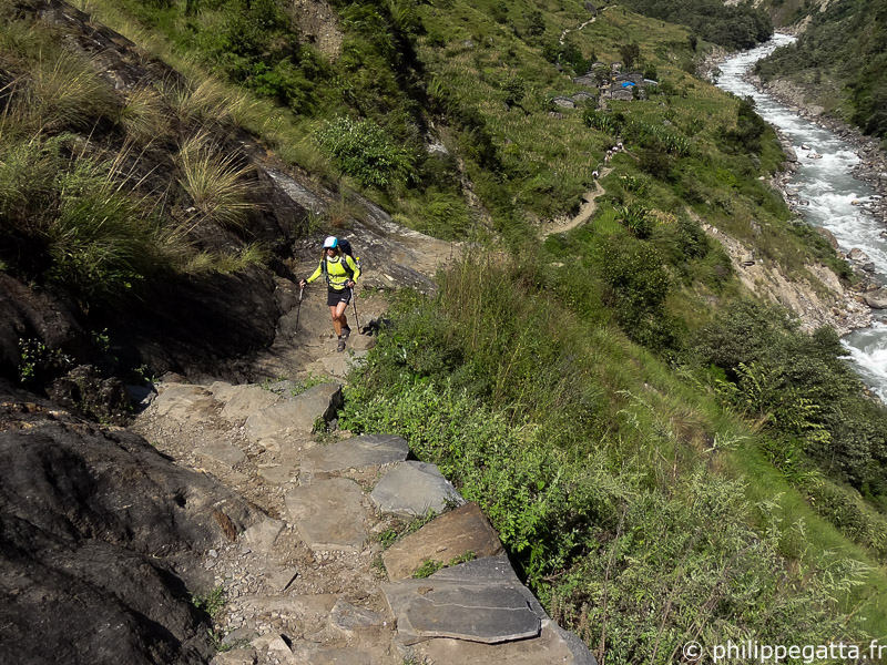
Philippe and Anna leaving Kagbeni the following day (© R. Bull)
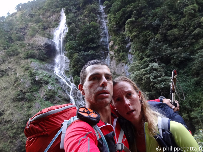
Day 11 to 18: Kagbeni to Syabru Besi (Anna and Philippe)
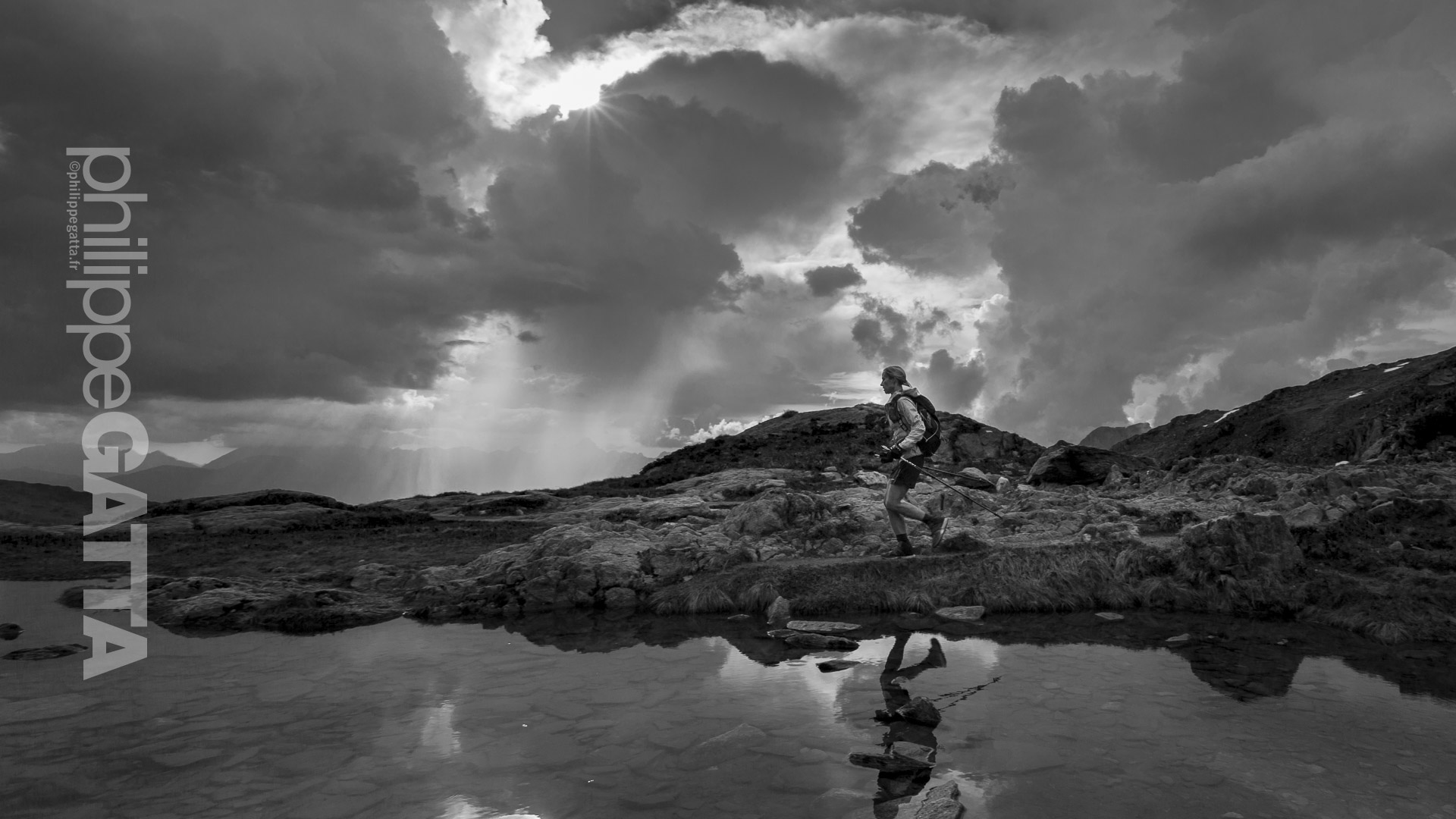
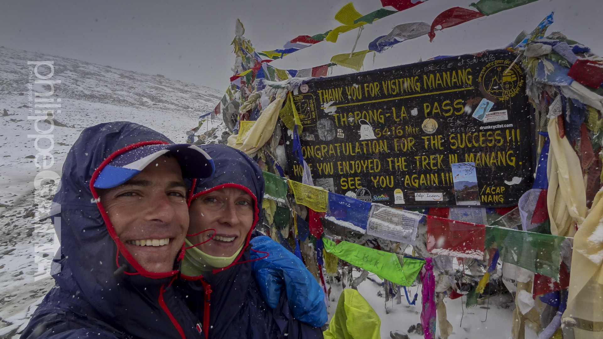
Philippe and Anna left Kagbeni (Annapurna region) early in the morning, starting the day with a 2,600m non-stop climb to the famous pass of Torong La (5,416m). They reached the pass in a snow storm and continued on the other side to Yak Kharka where they spent the night in a lodge.
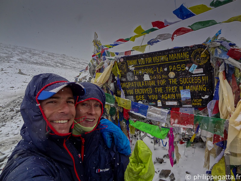
Philippe and Anna crossing Torong La (5,416m), Annapurna (© P. Gatta)
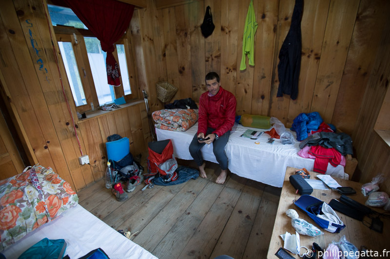
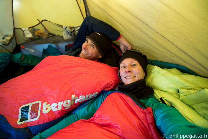
Inside the lodge in Lata Marang, Annapurna (© A. Gatta)
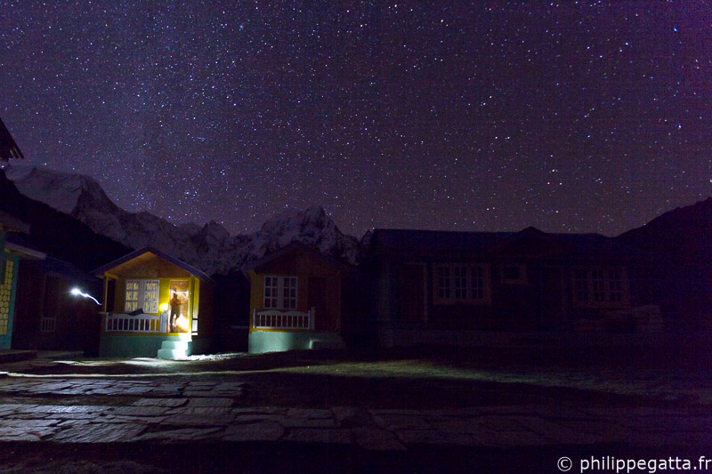
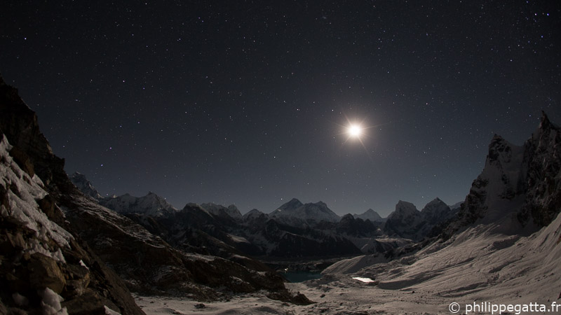
Stars at Bimthang, Manaslu (© P. Gatta)
Running around Manaslu (© A. Gatta)
Very long day, Manaslu (© P. Gatta)
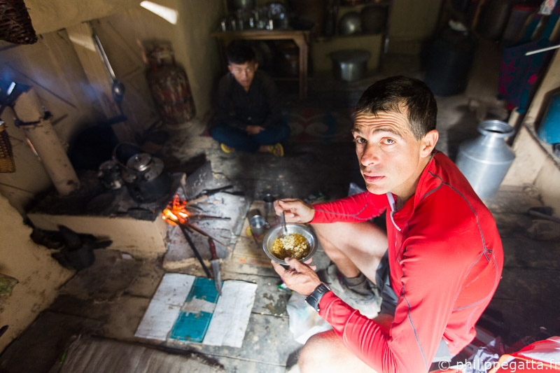
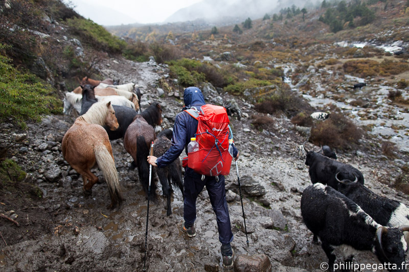
Eating a noddle soup along the way, Ganesh Himal (© A. Gatta)
Crossing Pansan Pass, Ganesh Himal (© A. Gatta)
They met Richard at Syabru Besi who kindly brought a big pack of chocolate. At this point, Philippe and Anna did half of the Great Himalaya Trail in 18 days, ahead of their schedule. The bad news was that a category 5 cyclone had started to hit Nepal.
Total for this section: 390km +19,360m in 8 days.
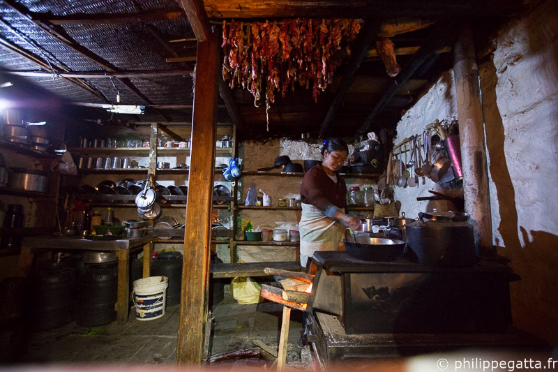
The hanging guts on the roof is probably the cause of our food poisoning, Ganesh Himal (© P. Gatta)
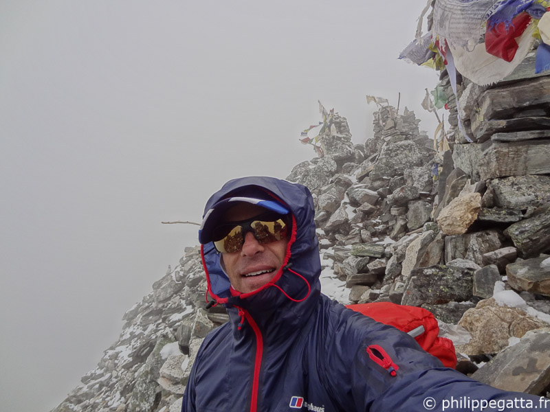
Day 19 to 25: Syabru Besi - Tilman Pass - Katmandu (Philippe)
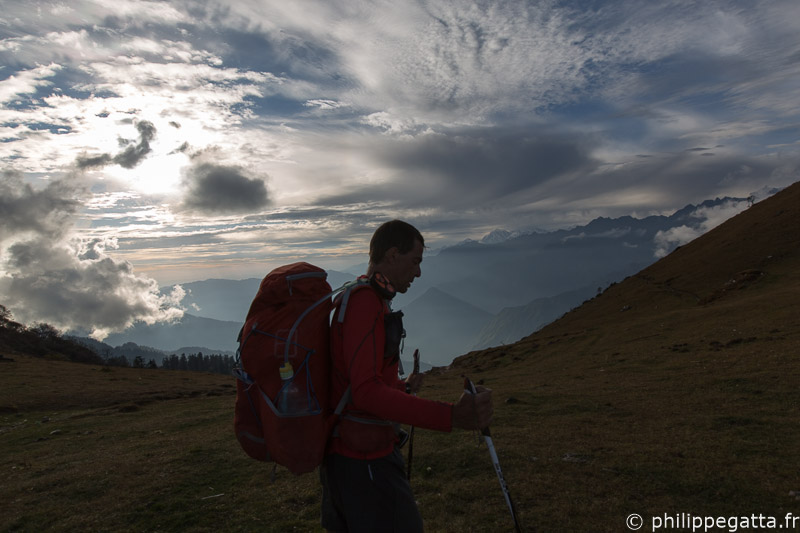
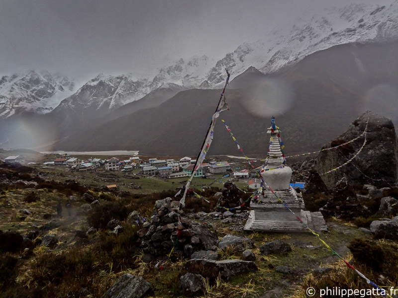
Day 19, Anna went back to Katmandu and flew to the Everest region to wait for Philippe. Philippe and Rich started the long walk to Kyanjing Gompa in the Langtang region under the heavy rain of the Phailin Cyclone. Philippe was still weak from the previous days of sickness but managed to keep going anyway. They slept in a lodge at Kyanjing Gompa.
Philippe under the heavy rain of Phailin, Langtang (© R. Bull)
Philippe looking at options while waiting at Kyanjing Gompa, Langtang (© R. Bull)
Rain and snow at Kyanjing Gompa, Langtang (© P. Gatta)
Crossing the Langtang Khola, Langtang (© P. Gatta)
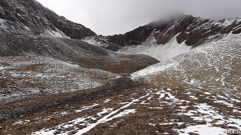
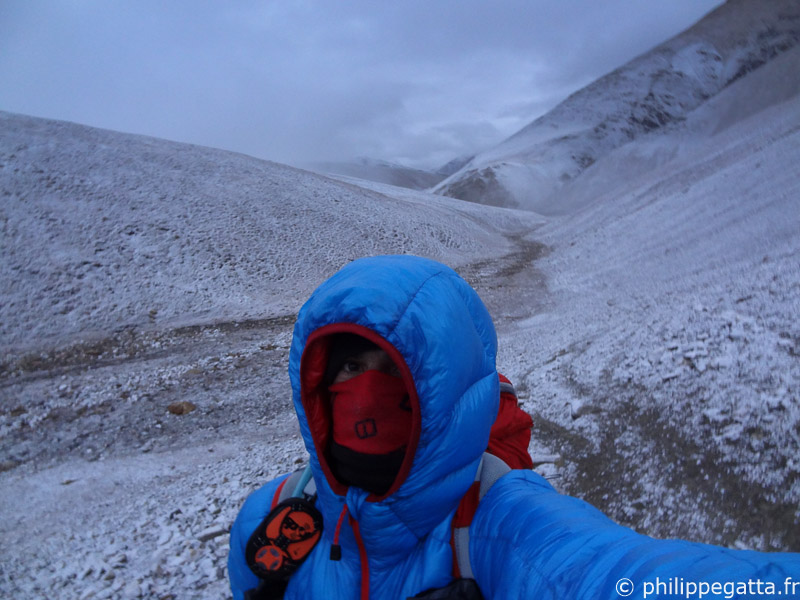
At that point he had chest deep snow and was progressing at 70m per hour. With only 24 hours of food left and 40km away from the closest village, he had no choice but to turn back. After 14 hours of effort, crossing several avalanches and landslides, he came back to Kyanjing.
Deep snow around Tilman Pass, Langtang (© P. Gatta)
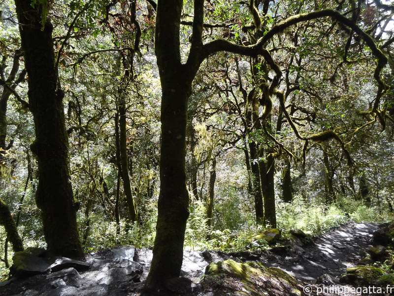
Forest in Langtang (© P. Gatta)
Total for this section: 122km +5,300m in 6 days.
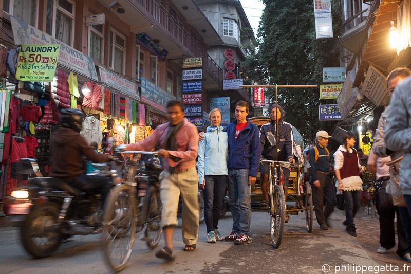
Katmandu (© R. Bull)
Day 26 to 34: Lukla to Chhetchet (Anna and Philippe)
Day 26, Philippe left Katmandu, flew to Lukla and walked straight up to Namche Bazar where he met Anna and Pasang Gumbu. Philippe and Pasang Gumbu climbed Everest together in 2007 and this time they teamed up to climb Island Peak just for fun since we no longer could cross the Amphu Labsta to reach the Kangchenjunga region.
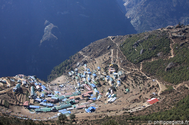
Namche Bazar, Everest (© P. Gatta)
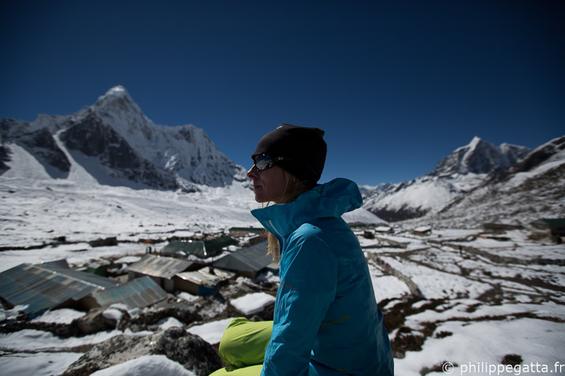
Anna in Chhunkung, Ama Dablam in the background, Everest (© P. Gatta)
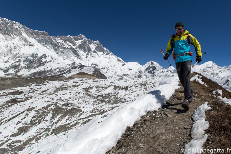
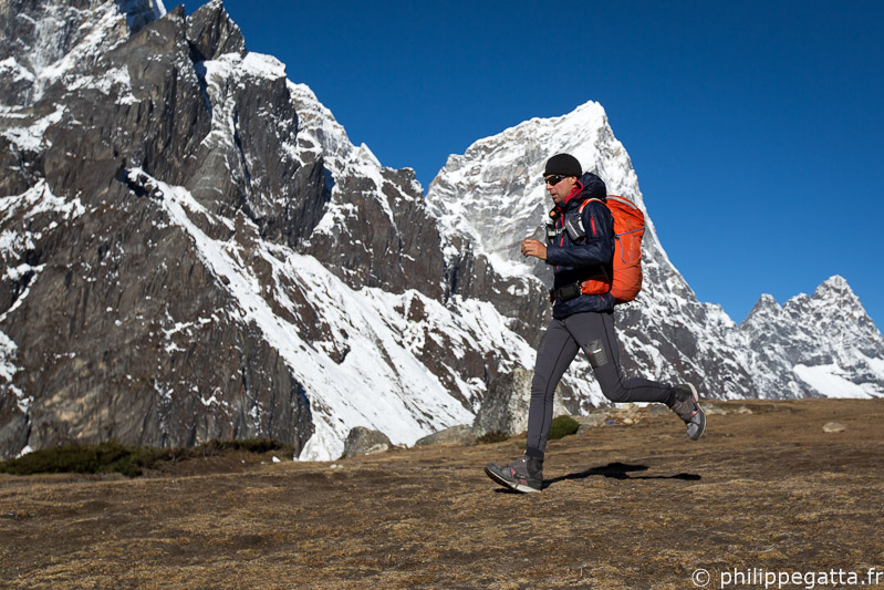
Running around Chhunkung, Lhotse in the background, Everest (© A. Gatta)
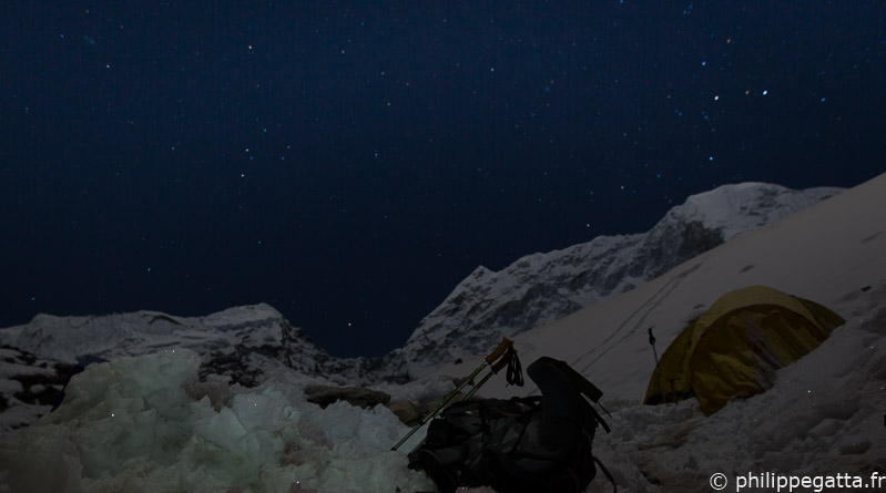
Stars at Island Peak base camp, Everest (© A. Gatta)
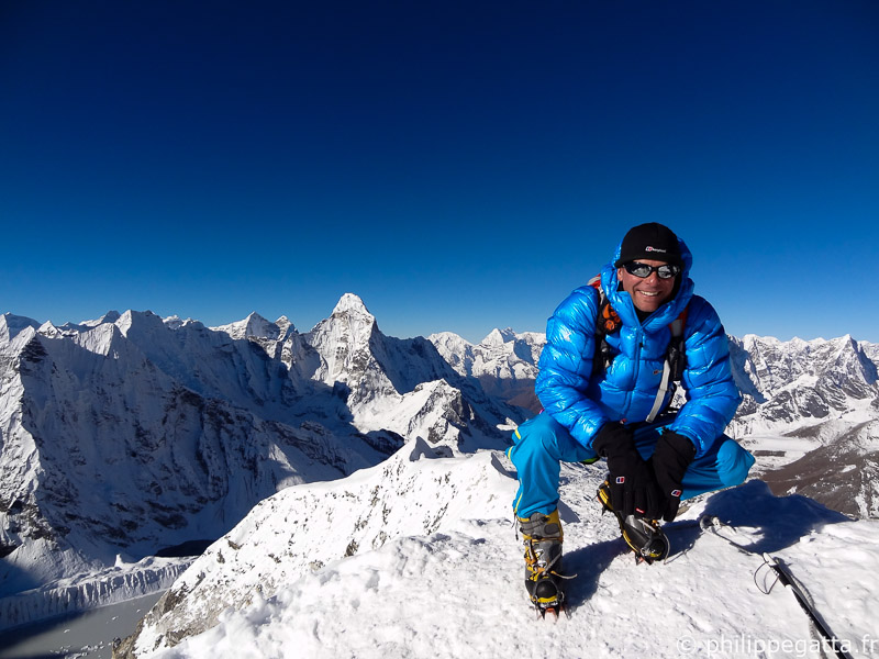
Philippe on top of Island Peak, Everest (© P. Gumbu)
Philippe above Dingboche, Everest (© A. Gatta)
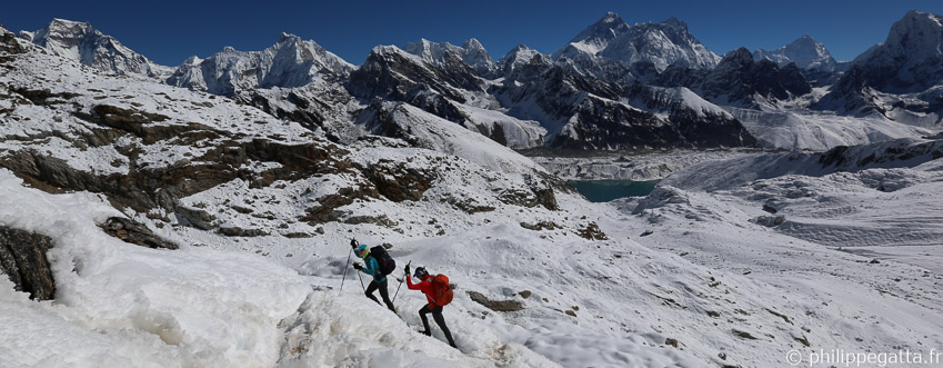
Anna et Philippe sous le col Renjo La, Everest (© P. Gumbu)
Extremes conditions on the way down from Tashi Labsta, Rolwaling (© P. Gatta)
Total for this section: 225km +11,300m in 9 days.
Great Himalaya Trail finish at Chhechet, Rolwaling (© P. Gatta)
The map of Great Himalaya Trail (GHT)

GHT map, courtesy of thegreathimalayatrail.org
Anna and Philippe at Island Peak base camp (© A. Gatta)
Articles about this adventure

Ten pages: story, interview and photos in #15 Wider (© P. Gatta)
Moonrise over Everest (© J. McGuinness)